The GEO CORE Summer Professional Development Program
 This National Science Foundation-sponsored program is designed to provide in-service secondary teachers with an in-depth knowledge of the science behind the environmental issues facing Long Island. Throughout the program GEO CORE staff will work with the selected educators to develop place-based classroom activities to be used in the educators' classroom and shared throughout the educational community.
During the week long program, selected educators will visit specific field sites where they will work with program staff and participating high school and college students to learn observational and sampling techniques, collect data, and explore how human activity affects our environment. Program staff will work the selected educators to develop classroom activities that utilize the data collected and the information learned to meet the next generation science standards.
Selected educators will receive a stipend of $1,000 and are expected to attend the full program and create an original classroom activity to be used in the classroom and shared with local educators. Upon submission of a final written draft of the shared activity the participating educator will also receive a classroom science kit to be used with the activity.
Marine Science
9:00am -3:00pm
July 16-19, 2018
Daily Program
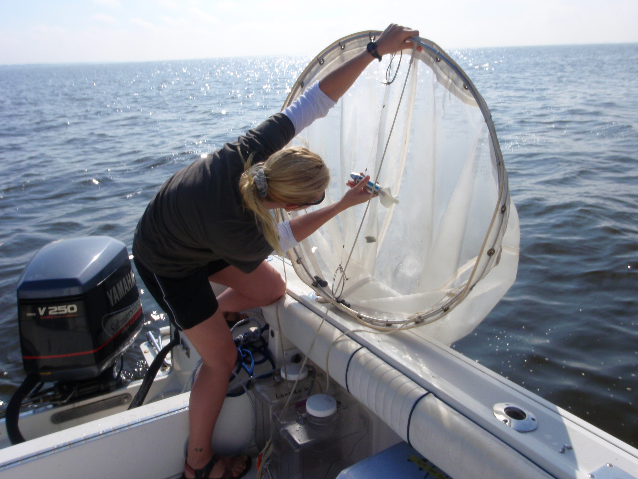
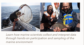
Throughout the week, participants will learn about the interactions among Long Island's aquifers, surface waters, and our coastal environments. Participants will actively engage in the collection of data through the use of beach seines, plankton tows, and a YSI data logger to measure temperature, salinity, dissolved oxygen and other environmental parameters, which will be analyzed graphically using Excel.
|
Atmospheric science
July 23-26, 2018
10:00am -4:00pm
Daily Program
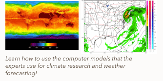
Participants will learn how to use numerical weather models to predict daily weather as well as predicting potential severe weather in order to alert the public. Attendees will also use portable weather equipment to observe microclimates around the campus. Field trips include visits to National Weather Service Forecast Office at Brookhaven National Laboratories, Islip MacArthur airport weather observation station and control tower, and the New York Air Route Traffic Control Center.
|
Long Island Geology
9:00am -3:00pm
July 30-August 2, 2018
Daily Program
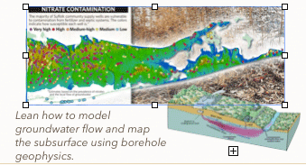
During this week, participants will learn about Long Island geology, the movement of groundwater, the potential hazards to our groundwater system, and current remediation efforts. Participants will learn how to map sites and data using GIS, use monitoring wells to collect groundwater samples, and record geophysical data to produce accurate subsurface models. Participants will also tour an active remediation site and learn about the common groundwater remediation techniques .
|
| |
|
 This National Science Foundation-sponsored program is designed to provide in-service secondary teachers with an in-depth knowledge of the science behind the environmental issues facing Long Island. Throughout the program GEO CORE staff will work with the selected educators to develop place-based classroom activities to be used in the educators' classroom and shared throughout the educational community.


